🚀 Advanced Field Operations Platform
Field Operations Tracking Made Simple
TractWatch revolutionizes field operations with real-time GPS tracking, automated photo documentation with S3 cloud storage, and comprehensive Google Maps integration. Monitor your team, capture geotagged evidence, and visualize routes with precision.
Real-time tracking
Cloud storage
GPS precision

Live GPS Active
Core Features
Everything You Need for Field Operations
From automated GPS tracking to cloud-based photo storage, TractWatch provides enterprise-grade tools for modern field operations management.
Real-Time GPS Tracking
Advanced GPS technology with automatic location updates every 30 seconds. Track field representatives with precision accuracy and view live positions on interactive Google Maps.
Automated Photo Upload
Seamless S3 cloud storage integration with automatic photo uploads. Every image is GPS-tagged with precise coordinates, timestamps, and metadata for complete documentation.
Google Maps Integration
Full Google Maps Platform integration with custom markers, route visualization, and geofencing capabilities. View historical paths and optimize field operations.
Secure Cloud Storage
Enterprise-grade AWS S3 storage with automatic backup, version control, and secure access. All photos and data are encrypted and accessible from anywhere.
Instant Notifications
Real-time alerts for geofence violations, photo uploads, and route deviations. Stay informed with push notifications and email updates.
Advanced Analytics
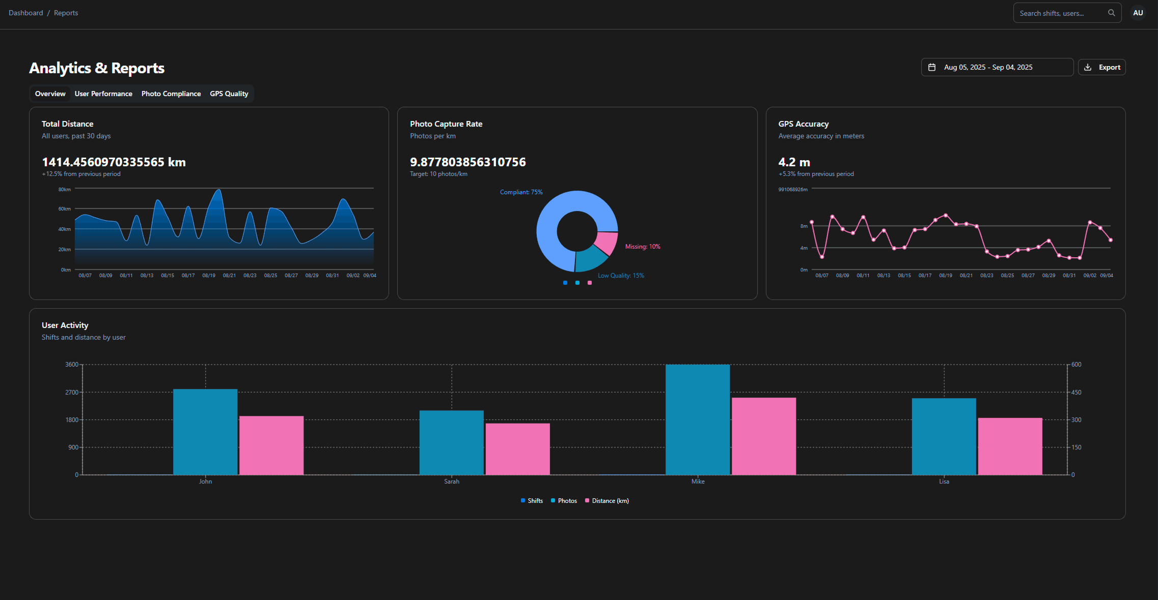
Comprehensive reporting with route analysis, time tracking, photo documentation metrics, and performance insights. Export data for further analysis.
Technical Specifications
Built for Enterprise Performance
TractWatch leverages cutting-edge technology to deliver reliable, scalable field operations management.
99.9%
GPS Accuracy
30s
Update Interval
Unlimited
Photo Storage
24/7
Support
Mobile Field App
TractWatch Field App Features
Our powerful field app puts GPS tracking, photo capture, and route management right in your team's hands. Available for iOS and Android with offline capabilities.
Automatic GPS Tracking
Continuous location tracking with 30-second intervals. Battery-optimized for all-day field work with precise coordinate logging.
One-Tap Photo Capture
Instant photo capture with automatic GPS tagging, timestamp, and metadata. Photos sync immediately to secure S3 cloud storage.
Offline Mode
Work without internet connection. All data syncs automatically when connectivity returns, ensuring no lost information.
Route Optimization
Smart route planning with Google Maps integration. Get turn-by-turn navigation and optimize field visit sequences.
Team Communication
Real-time messaging and status updates. Coordinate with team members and receive instant notifications for important events.
Secure Data Sync
End-to-end encryption for all data transmission. Secure authentication and role-based access controls for enterprise security.